Nokia has been after the navigation market for quite a while now. The free inclusion of Nokia Maps in some of its high end models and the fact that the application and maps are given for free --- with the user optionally purchasing navigation for set amounts of time and having access to updated maps whenever those are available --- was in itself a radical departure from the buy-to-own products sold by companies like Tomtom, Navigon, Destinator, Michelin etc.
Nokia's €5.7bn acquisition of Navteq, one of the two major mapping companies around, cemented what was previously speculation about Nokia's interest in this market.
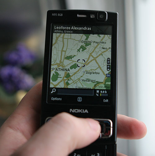
While accessible and relatively economical, Nokia Maps 1.0 was not without its problems: a relatively disingenious interface coupled with slow performance left it trailing far behind its leading rivals. Today Nokia released Nokia Maps 2.0 in beta form, for free on their Nokia Betalabs web site. The new application sports a much improved user interface, faster performance, new map modes (satellite and hybrid modes were added) and a clear shift towards catering equally for pedestrians as well as drivers --- a very welcome addition, sorely missing for the most part from other offerings.
To my eyes, Nokia has already surpassed many of its competitors in the market in navigation and mapping. Its inclusion of free mapping and (paid) navigation functionality in mobile phones leverages its dominant position in the mobile phone industry and might render it a trojan horse, its more 'traditional' competitors might not be able to counter. We live, after all, in the era of convergence.